


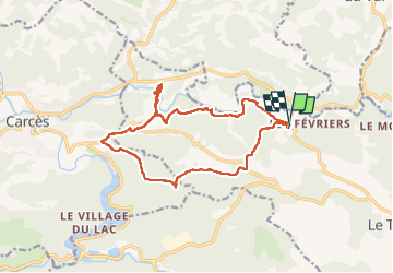

12,3 km | 16,5 km-effort


Benutzer


Kostenlosegpshiking-Anwendung
 SityTrail
IGN / Geografische Institute
SityTrail World
Die Welt öffnet sich für Sie
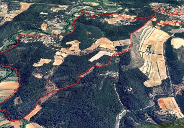
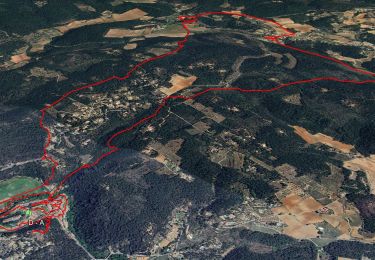
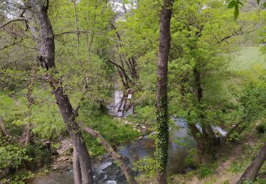
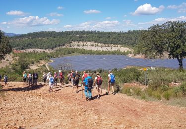
Tour Wandern von 15,7 km verfügbar auf Provence-Alpes-Côte d'Azur, Var, Le Thoronet. Diese Tour wird von SaintEloi4 vorgeschlagen.
Belle randonnée mais un peu trop de portions goudronnées et 2 passages délicats pour les gens qui craignent la vertige

Wandern

Wandern
Wandern


sport
Wandern
Wandern
Wandern

Wandern
Wandern